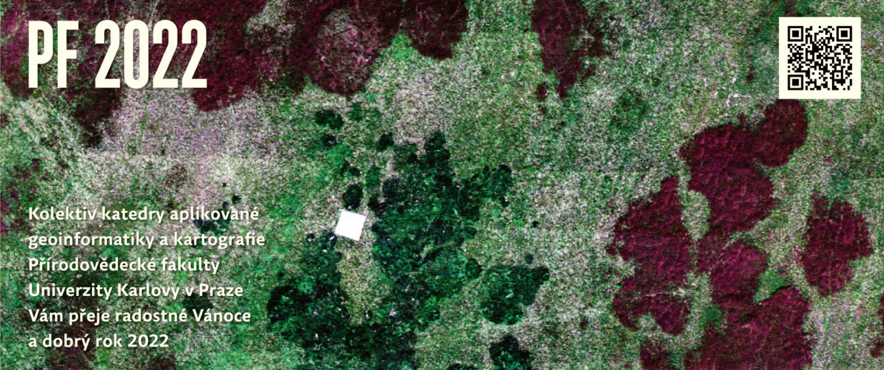
Do you know what is on the picture?
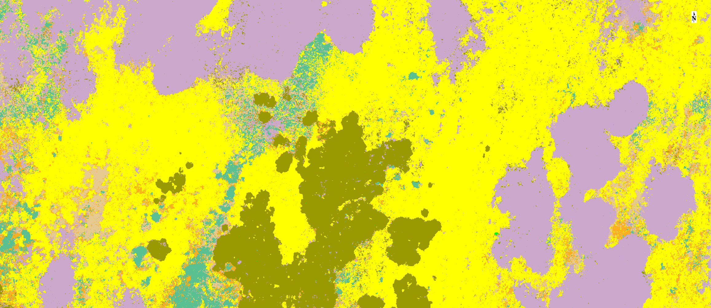
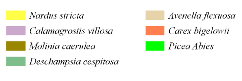
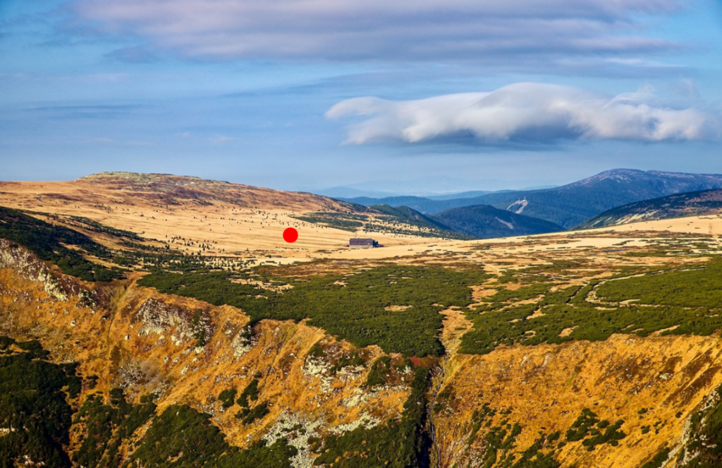
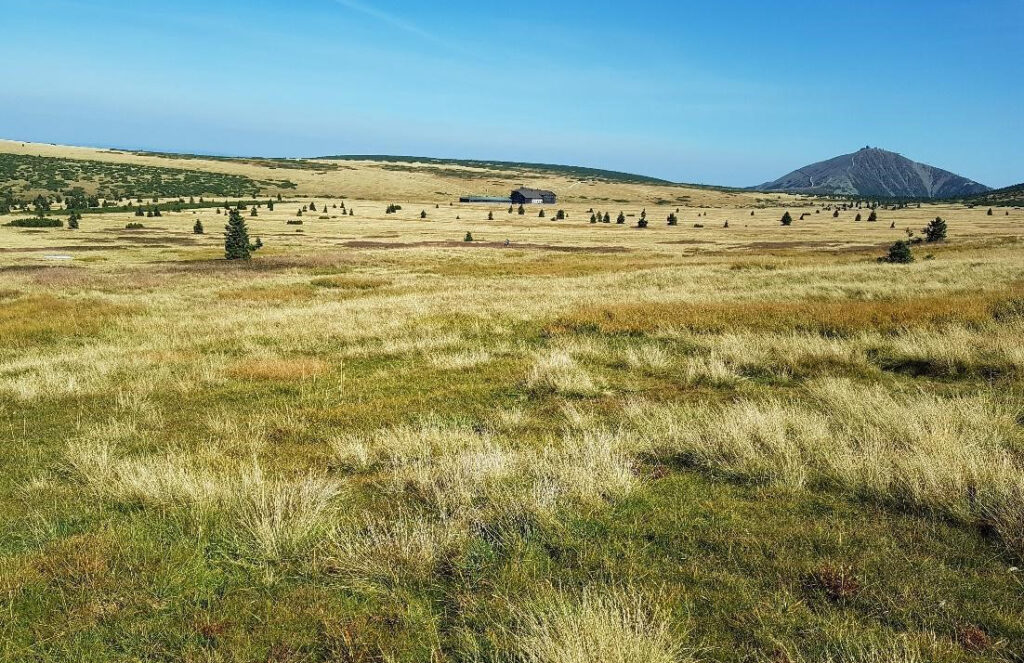
There are meadows of Bílá louka in the Krkonoše Mts. near to Luční bouda chalet. It is an image from the hyperspectral camera Headwall NANO-Hyperspec. You can also see the calibration carpet (the white square) that is used for the radiometric callibration of hyperspectral data. In the framework of the project focused on development of the methods for tundra vegetation monitoring using data from UAV sensors our team from the Department of Applied geoinformatics and Cartography elaborated for example the classification output that you can see below.
